

Location Map
Usage
The Location Map block shows your locations as pins on an interactive map, with a card for each one. Visitors can filter by region or type if you add filters.
It works with Google Maps or OpenStreetMap. Turn on Enable Mapping and pick a map provider in the Customizer first.
Settings
- What to Display — all locations, one region or type, or locations you pick by hand
- Filtering — region or type filter buttons for visitors
- Columns, Card Style, Card Headlines, Text Align, Excerpt Style — how the location cards look
Tips
- Set a map pin on each location so its marker lands in the right spot.
- If visitors must accept cookies before a Google map loads, set the GDPR Map Prompt in the Customizer.
Settings
Location Map
Data · Data
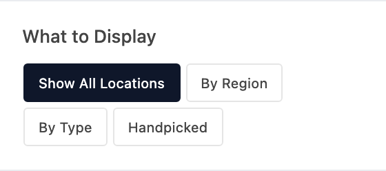
Show every location, only certain Regions or Types, or locations you pick by hand.
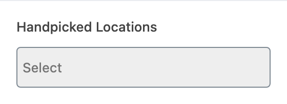
Appears when What to Display is Handpicked.
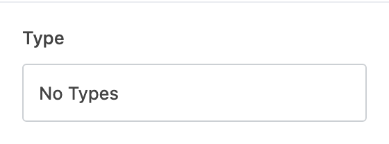
Appears when What to Display is By Type.
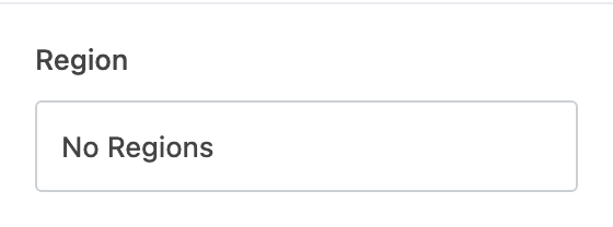
Appears when What to Display is By Region.

Adds filter buttons visitors can click to narrow the map by Region or Type.
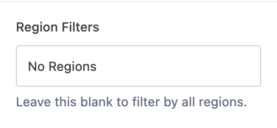
Which Regions get a filter button. Leave blank for all.

Which Types get a filter button.
Appearance · Appearance
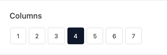
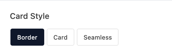
Shows each location's featured image on its card.
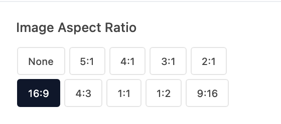
Crops card images to one shape. None keeps each image's original shape.
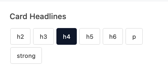
Text style for location names on the cards.
Text alignment on the location cards.
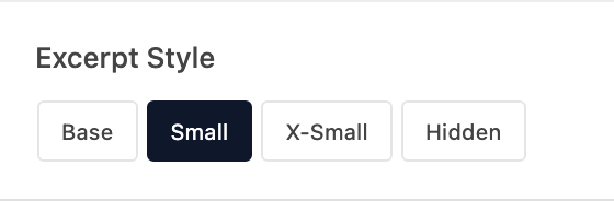
Size of the excerpt on each card, or Hidden.
Adds a link on each card to that location's page.
Appears when Link to Post is on (default "See post").